Gravel Ride of the Week: Rockstar (A 250-Mile Bikepacking Adventure)

Disclaimer: This post contains affiliate links, through which we earn a commission.
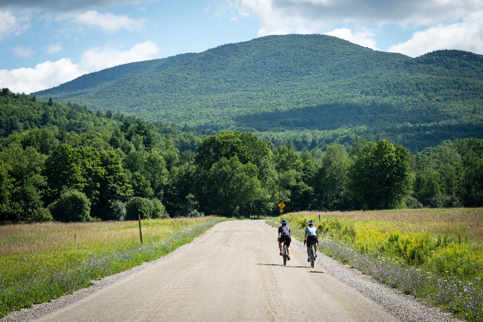
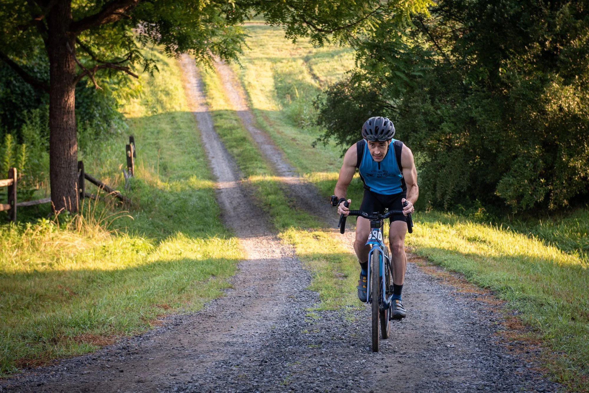
How to become a rockstar… Grab a bike and cycle 250-miles (400km) from Harrisonburg VA to Roanoke VA through incredibly challenging mountains, accumulating over 24600 ft (7500m), all with very limited re-supply options along the way. Easy, right!? Not at all. Somehow, this sounded like something that I should try, and as such, I signed up for the 2022 grand depart of the Rockstar Challenge. Yikes! Weeks of preparation and gear planning followed, finally leading up to the big moment when I would depart from Harrisonburg on my biggest bike adventure to date. Mountains, lots and lots of mountains, endless gravel roads, technical trails, river crossings, camping, survival, and flat-out awesomeness all awaited along the way. In this post and the latest Gravel Ride of the Week video I break down this unforgettable bikepacking experience. This is one of my proudest cycling accomplishments (and productions) and one that you surely don’t want to miss out on. Let’s get started!


The logistics
Completing the Rockstar route requires a lot of planning, most of which relates to the logistics of how you’ll overnight and resupply along the way. Throughout this post, I'll cover my experiences with finding food and water along the route and I'll publish a follow-up post in the future where I'll discuss all the equipment I chose for this trip. Beyond these elements, there is however an additional logistical challenge with the Rockstar route, which presents itself before you even get to the start line. Since this is a one-way route that runs between Harrisonburg and Roanoke, there is the added challenge of getting back to your vehicle after completing the journey. Fortunately, this is a problem that Rockstar’s organizer, Rob Issem, has already considered.
Bag selection for this trip


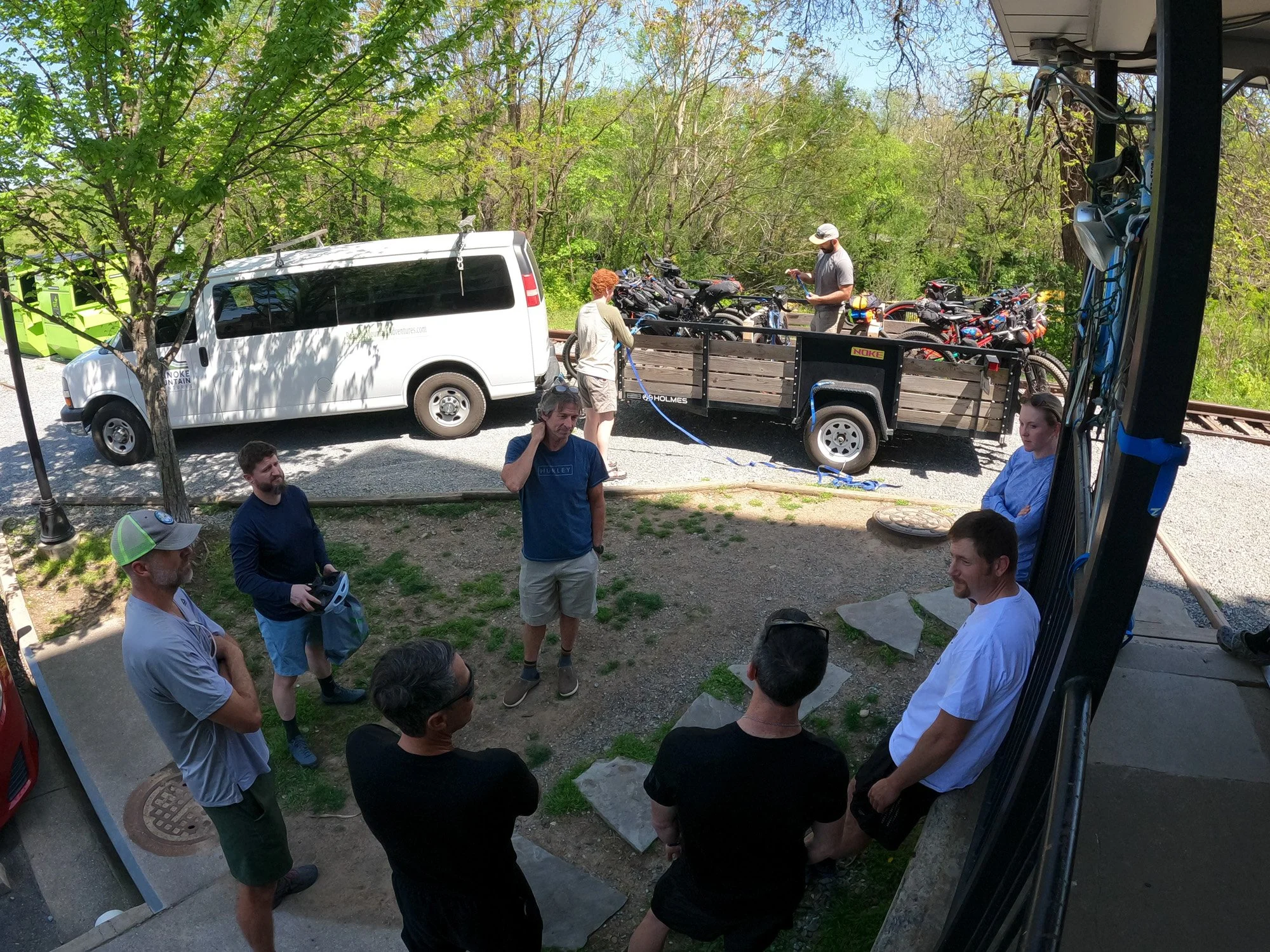
At the time of the annual Rockstar grand depart (usually late April), a shuttle service is offered by Roanoke Mountain Adventures that allows riders to park their cars in Roanoke and catch the shuttle to Harrisonburg the day before the event, meaning that their vehicles are waiting for them once the full route has been completed. This was a great service to have access to and one that greatly simplified the logistics of getting home after the ride. Getting to Harrisonburg the night before the grand depart had the added benefit that I could join for the pre-event social, which took place at Ruby's Arcade.


The Route
The Rockstar challenge offers three options to riders looking to cover the distance between Harrisonburg and Roanoke. One option, suited to mountain bikes, is to follow the trail route that runs along a network of technical and mountainous backcountry trails in the area. The second option, the gravel route, is the one that I choose, and sticks predominantly to the gravel roads between the two destinations. The last choice is to follow a paved route, which places riders on a more direct course between the start and finish locations, as they travel along regular roads.
The name of this event provides a hint of where the route will take you. Harrisonburg, the starting point, carries the nickname of Rocktown. On the other end of the course in Roanoke, you'll find Mill Mountain which is home to a large man-made star structure that overlooks the city. This route essentially takes riders from Rocktown to the Roanoke star - Rockstar! Along the way, the route traverses over some significant uphill challenges, providing a whole other meaning to the word Rockstar and the accomplishment met by the riders who complete the route.
My route navigation device


Anyone looking to complete this route can consult the official event information on the Virginia Endurance Series page. Contact details for Rob Issem, along with updated information about route links can all be found here. Rockstar is not an easy route to follow, but the terrain allows for some incredible sights along the way.
Careful planning is a must and in the next few sections I'll cover my breakdown of this trip to help shed some light on how this epic challenge can be completed. I opted to cover the intimidating 250-mile distance over 4 days, allowing for more time to soak in the surroundings and follow a more manageable pace. This pacing strategy can, of course, be altered with some (extreme) riders opting to make a straight shot from start to finish. Current men's and women's FKTs (fastest known times) stand at sub-19 and sub-24 hours respectively. Wow! If you value sleep, then my break down as listed below might be more appealing.


Day 1: Harrisonburg to Braley Pond
(88 KM / 55 MI with 1730 m / 5675 ft elevation gain)

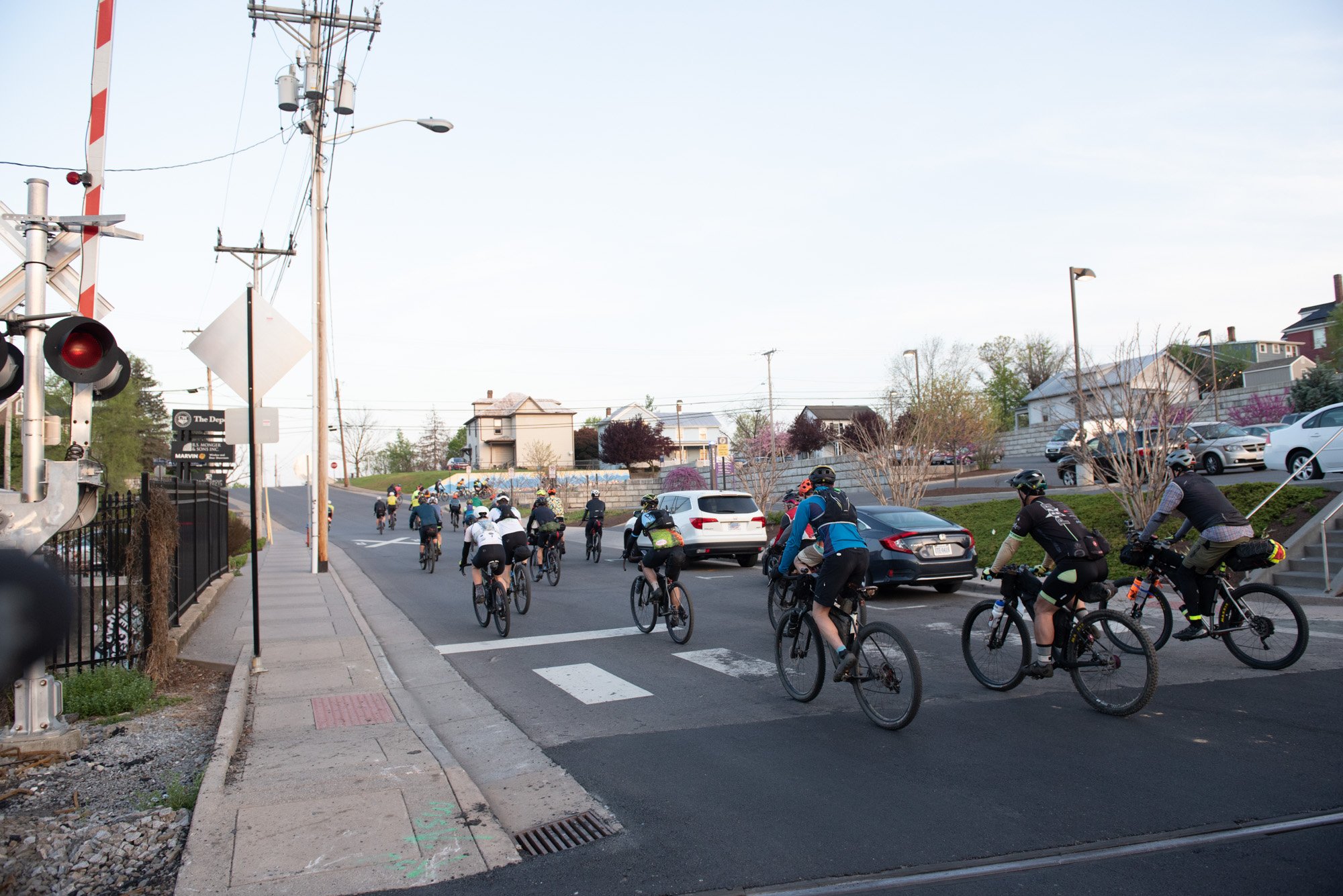
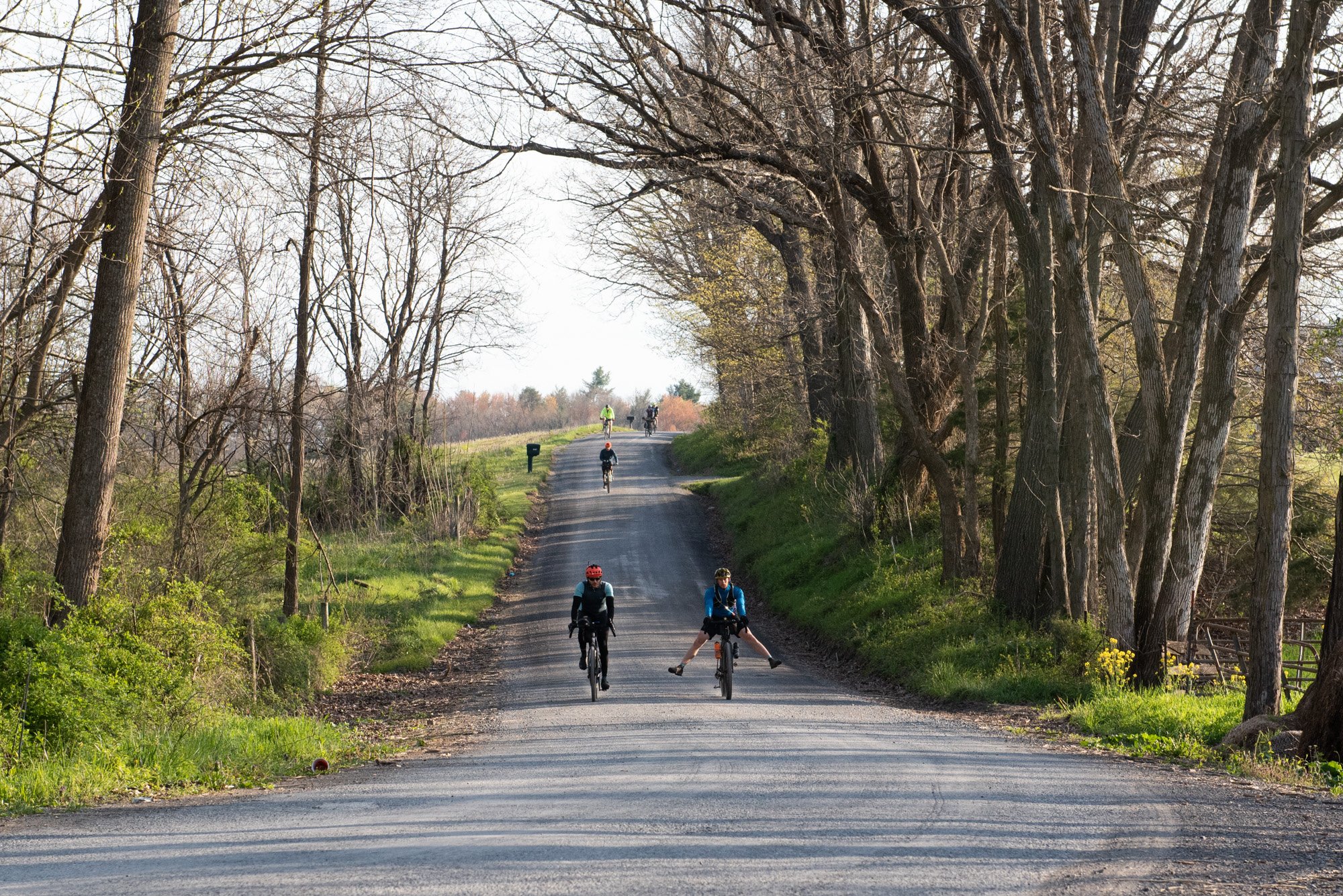
The grand depart to this backpacking adventure kicked off in downtown Harrisonburg at Black Sheep coffee. After rolling out from the start, we cruised out of Harrisonburg along the Friendly City bike path before heading through the Hillandale Park trails. Trail and gravel riders follow different paths through this park, but the bumpy trails provided a good opportunity to see if one's gear had been securely fastened to the bike. The trail section is short-lived and before long, we were back on the bike path, as we headed past the Heritage Oaks Golf course.


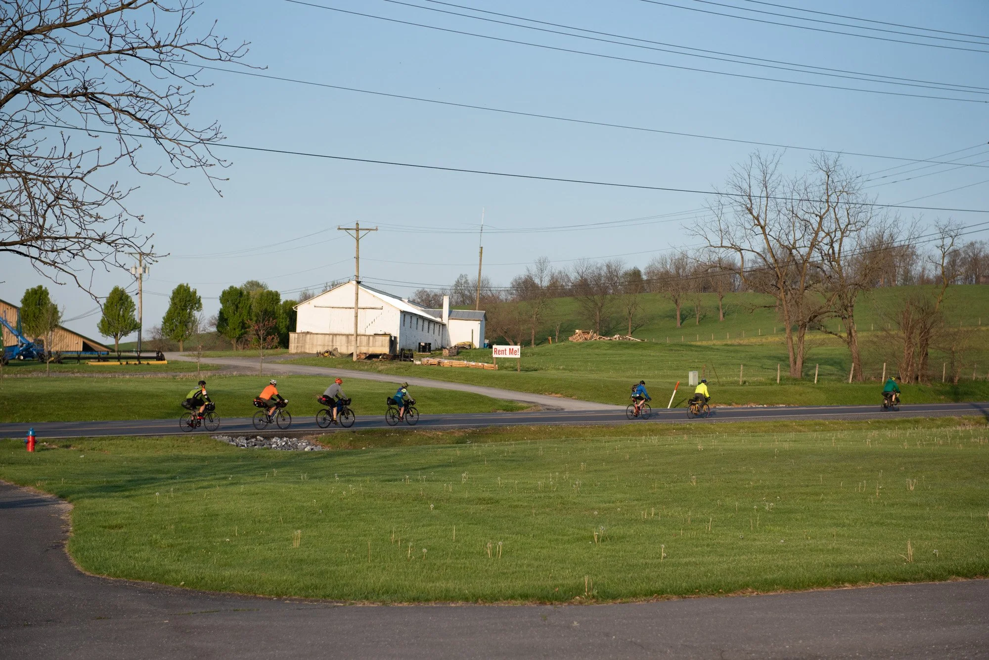
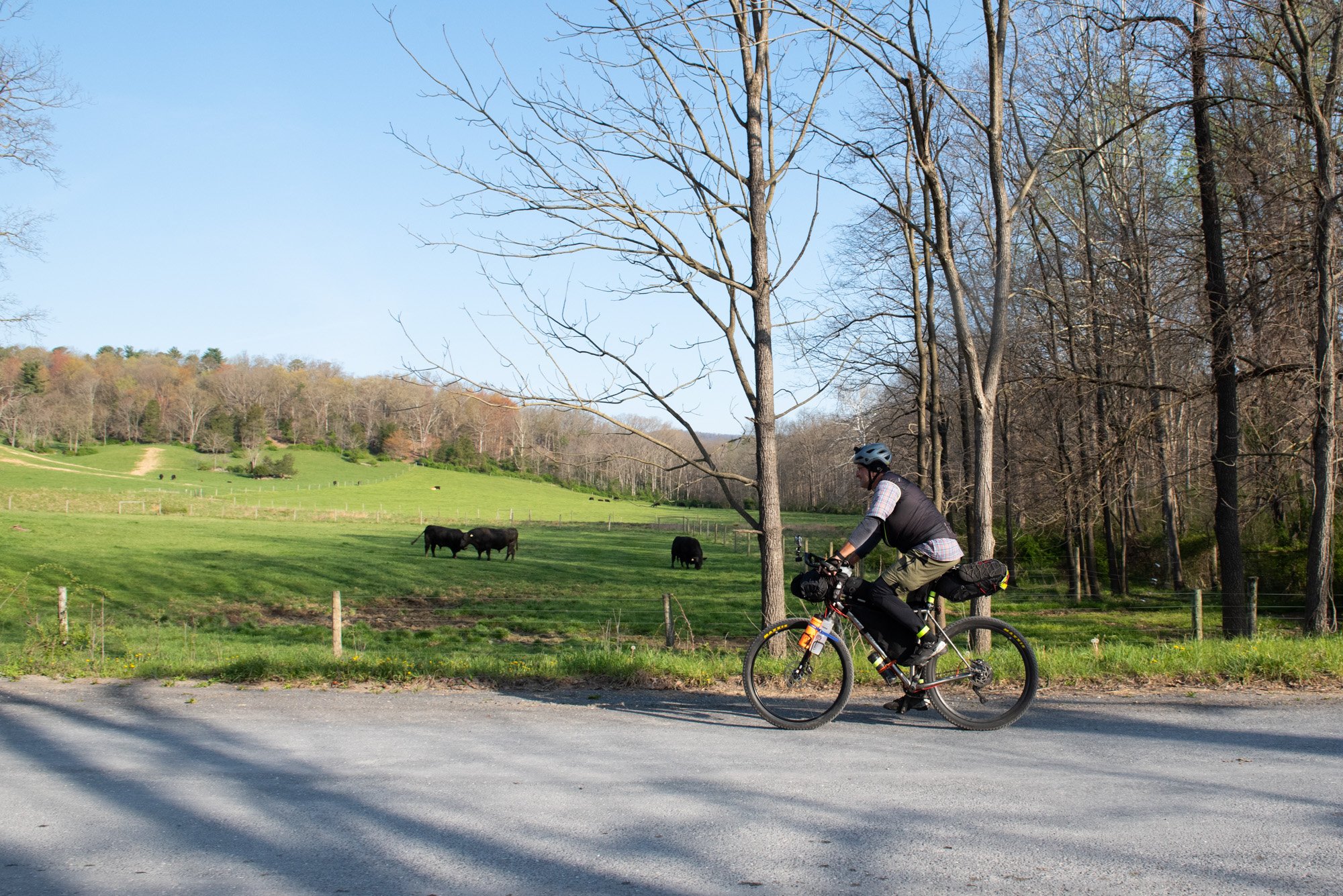
Next up, we made our way through the beautiful Shenandoah Valley and the amazing views of the farmlands with its mountainous backdrop. The terrain, however, changes quickly and the first major climbing challenge arrives in the form of Union Springs Road, taking us up and into the mountains. If you're in need of an early pitstop, then the Dry River Store located at mile-14 (~23km) is a good place to refuel before you get into the big climbs of the day. There are no more stores after this point, until you reach West Augusta.
Expect the climb up Union Springs Road to start out mild, but be warned that the surface level becomes increasing more difficult the higher you head into the mountains. A few river crossings await along this section, as the route winds its way to the two big overlooks of the day. First, we made our way up to the Flagpole Knob overlook before following the ridgeline all the way through to the major attraction on this first section of the route...Reddish Knob! The ridgeline section is by far one of the more technical sections of the entire gravel route and one that provided several hike-a-bike opportunities as we made our way through rocky sectors and around large mud-holes. The views once at the top were, however, totally worth it!


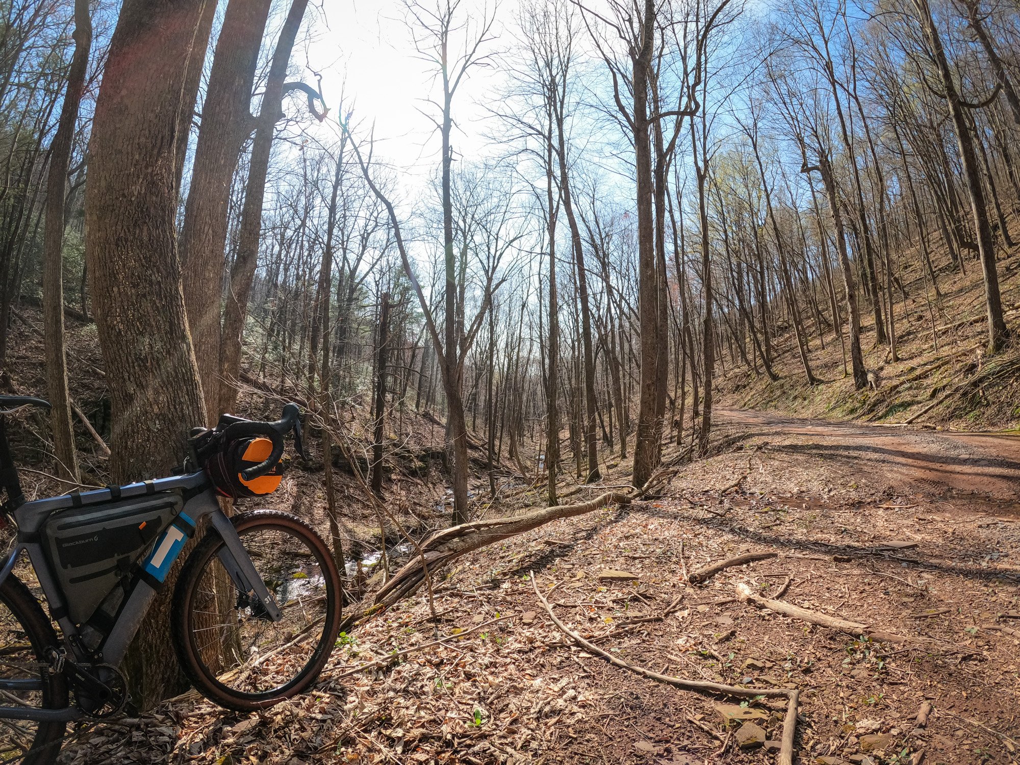

All the climbing would be rewarded in the form of a long downhill on the other side of Reddish that follows the gravel road known as the "dark side of reddish" due to the red color of the dirt. That downhill flows through the George Washington National Forest and eventually makes its way to the first overnight spot on my list, Braley Pond in West Augusta. Braley Pond offers a day-time picnic area, but dispersed camping is allowed along the road leading into the grounds. You'll find restrooms at the picnic spot, but note that no water or other facilities are available at Braley Pond. There is, however, a beautiful creek that runs behind the camp spots, and it was here that I could freshen up after a warm day on the bike.


Food and other supplies are fortunately not too far away once you reach Braley Pond. About a mile away from this camp spot you'll find the Mountain View General Store. This is a critical resupply spot along the Rockstar route and one that must be on everyone's list for refueling. I pitched my tent at the camp area and then headed over to the store to resupply for the night. I was able to find some freshly prepared food here which can be ordered at a counter towards the back of the store. I really went to town and purchased 3 hamburgers, a bag of chips, bottles of water, chocolate milk and some energy bars. This purchase meant that I would be set for the night and the next day, but since the route runs right past the store, it could easily have been a first pitstop the next morning as well.


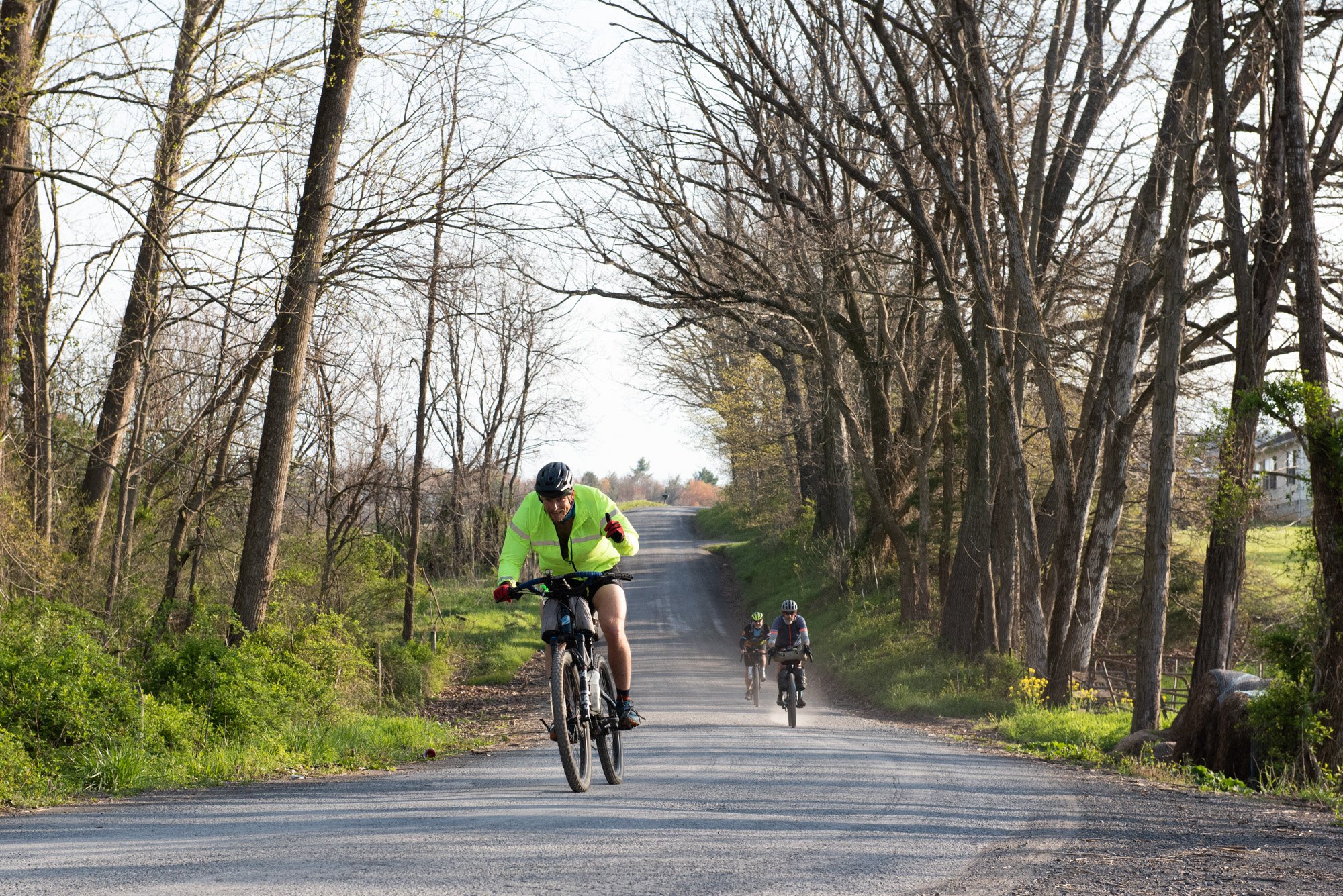
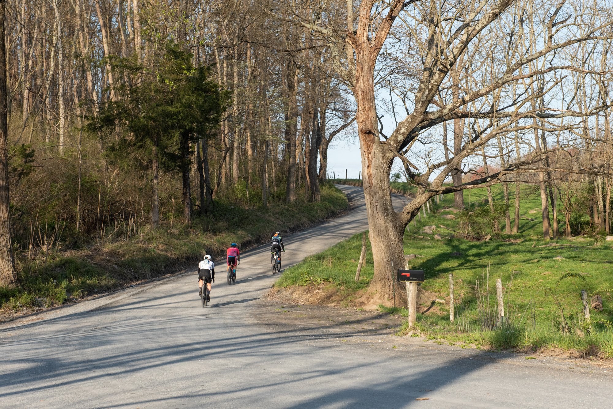
I was joined by two other riders at my camp spot that night, Devin and Rouselle. My pacing was closely matched with theirs throughout the day and we leap frogged each other during certain sections of the route. Although I would not start with them on day 2, I would eventually catch up with them again throughout the day and join them at the second camp spot on the list later that evening.


A list of items that came in super handy during my trip


Day 2: Braley Pond to Douthat State Park
(109 KM / 68 MI with 2067 m / 6780 ft elevation gain)

I started off the day with some oatmeal that I cooked on my mini camp stove before heading out of the incredibly beautiful West Augusta region. Soon after passing the Mountain View General Store, the climbing for the day began. A lengthy climb totaling 8.7 miles (14.2km) took me right back into the mountains. This is one of those climbs that really plays with one's mind, since the climbing doesn't end once you turn off the paved section, but instead the gravel portion of the climb offered more challenging sections as I headed to the top.
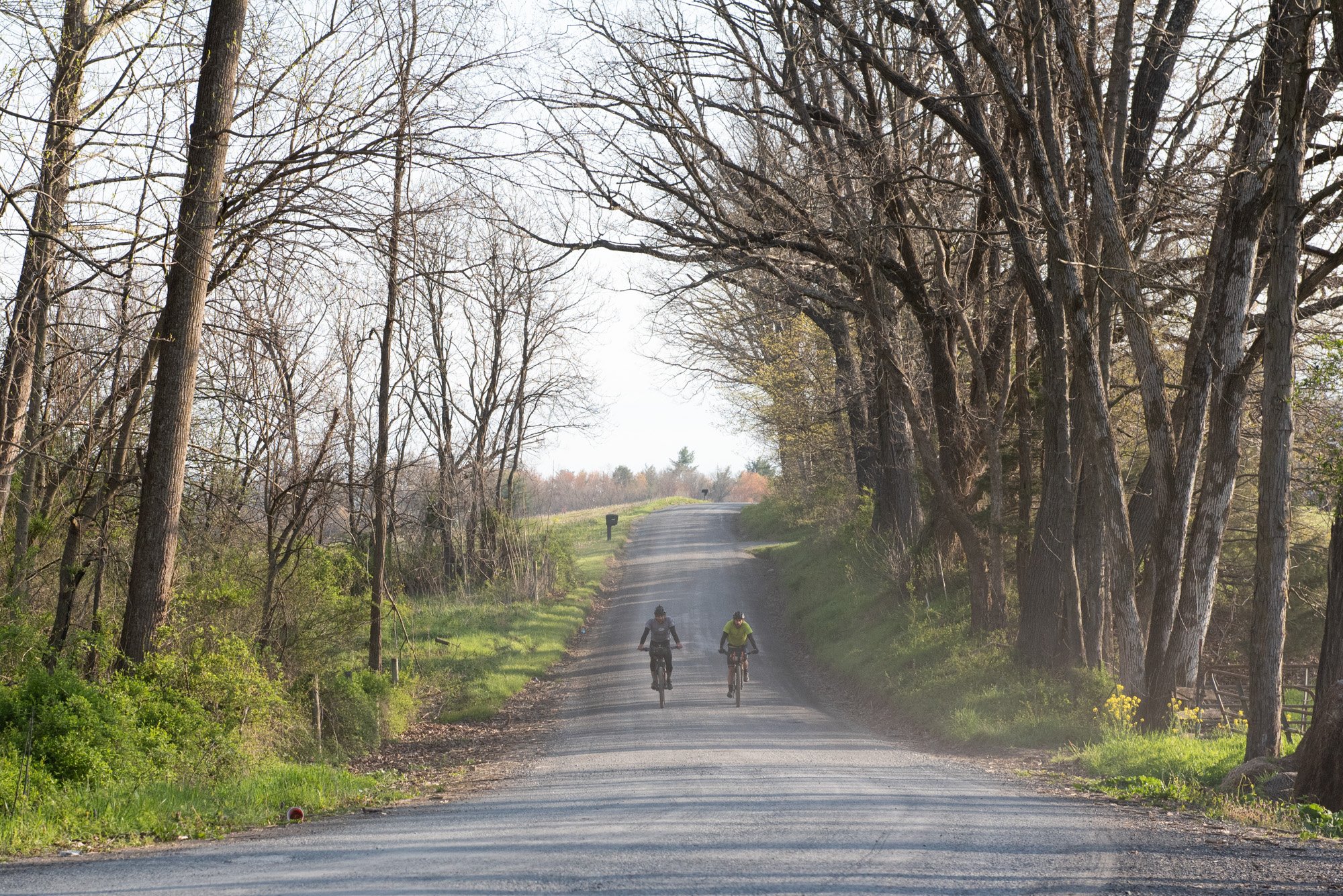
Descending from that highpoint was no easy task either. On the other side of this mountain, just to make things interesting, the route follows a single-track section that is very technical for a gravel bike. Fortunately, once at the bottom, we turned onto what must have been one of my favorite sections of the whole Rockstar route, an incredible country gravel road that offered a zippy riding experience on smooth gravel, all while enjoying amazing mountain views.


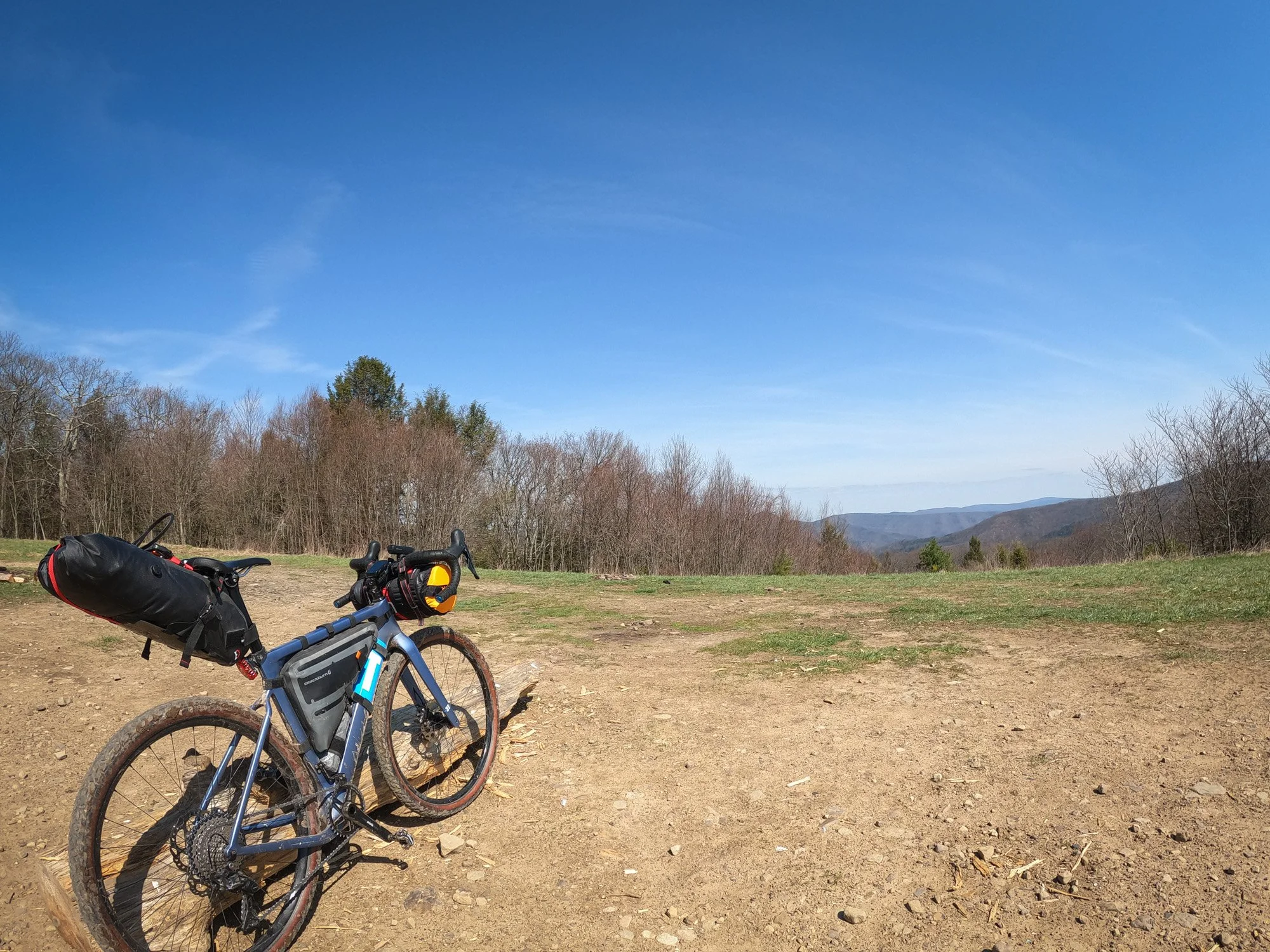
The next challenge was climbing back up the mountain, via the Sugar Tree road, an open and exposed gravel climb offering little shade during the hot mid-day sun. This mountainous gravel road lingers at higher elevation as it flows in and out of the mountain range for what feels like the whole day. Eventually the descent takes you into the valley below, where the long distance along the floor adds to the fatigue and ultimately catches up to you towards the end, when the rolling gravel climbs leading into the Douthat State Park begin to drain the legs. This day was one of the more challenging days on the trip and one that can easily break one’s morale to complete the entire route.


What further complicates this day's ride is the remoteness of the stretch between Braley Pond and Douthat State Park, offering no resupply spots anywhere along the way. I highly recommend that everyone attempting this route should carry a water filter. Mine came in super handy, and I refilled my water at mountain streams on 3 or 4 occasions throughout the day. I also carried a reusable food container, which held pita bread, along with some packets of peanut butter that could be used together for a quick roadside snack.
There is a camp store waiting at the Douthat State Park that offers a good selection of food and snacks. However, it’s crucial to watch the clock during the day to make sure you don't miss the closing time of 6pm. I had to really turn up the pace towards the second half of my ride to ensure that I got to the store before they closed. I got there at 5:45pm! It was worth the effort, and I really enjoyed the lakeside view while consuming my 4 hotdogs (yes, 4!) that I bought for dinner that night. Douthat State Park, unlike Braley Pond, offers loads of amenities. This well-maintained campground (that needs to be reserved ahead of time) comes with a newly renovated bathhouse, where a hot shower was greatly enjoyed. Water spickets and electricity are also available at your camp spot.
Don’t leave home without it!


I was once again joined by Devin and Rouselle at the Douthat State Park lakeside campground and since we were so evenly matched with the pacing, we stuck together throughout much of the remainder of the Rockstar ride.

Day 3: Douthat State Park to Primitive Roadside Spot (Stone Coal Rd)
(111 KM / 69 MI with 2014 m / 6607 ft elevation gain)

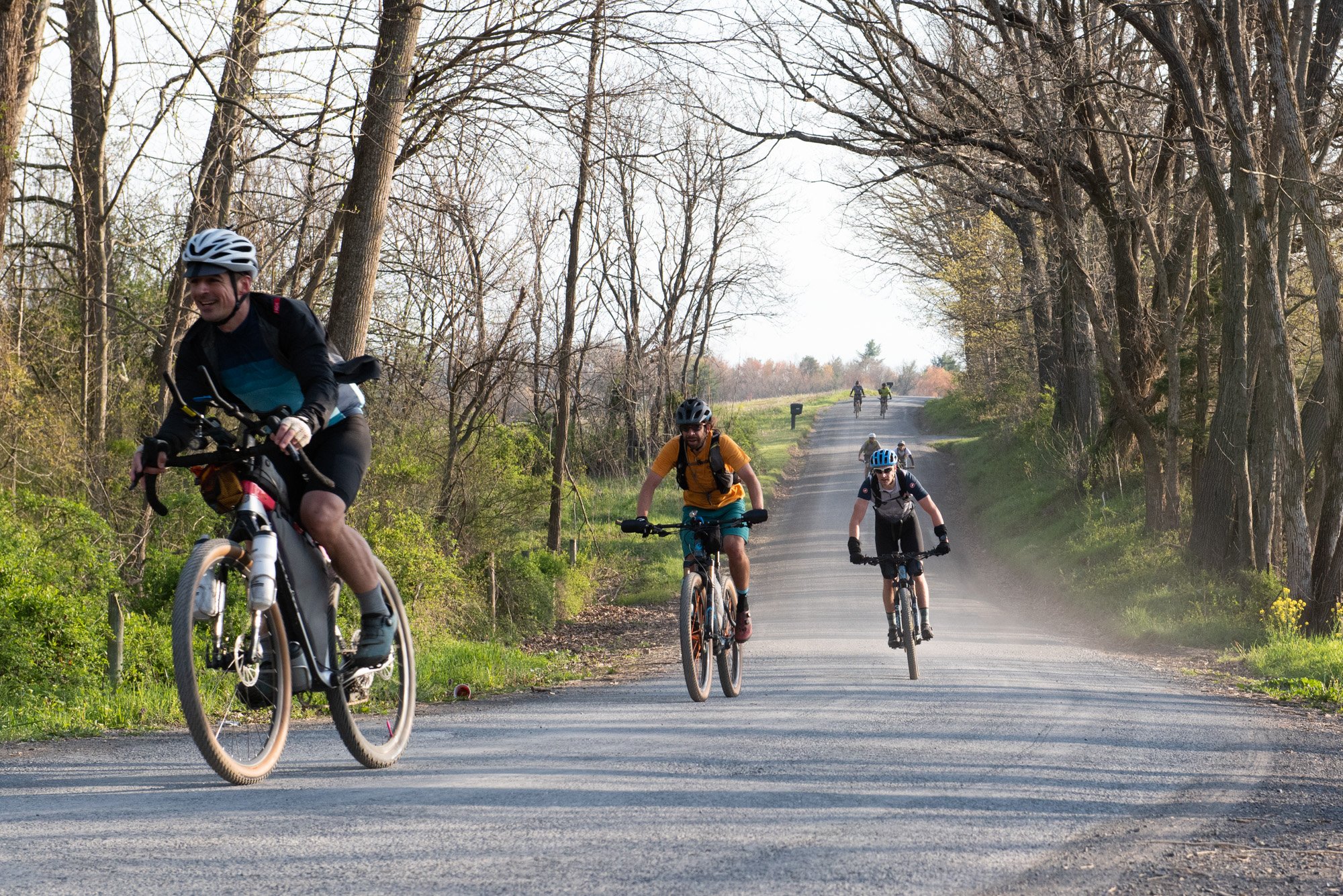
Along with my fellow riders, we set off on the third day of this bikepacking adventure. It required that we backtrack to return to the route from the campground, before heading into the mountains for some more gravel climbs. The route for the trail riders goes through the State Park's grounds, but gravel riders must duplicate a small portion of the route as they head in and out of the campground.


After those initial gravel climbs, we made our way through to the first signs of civilization in the form of Covington. There we found two pit stops, one slightly off route, the BP/Subway and the famous Whitey's One Stop. Like the Mountain View General Store in West Augusta, the resupply options in Covington form a critical part to the successful completion of this route. There is even a Walmart in this town, which might just provide access to any urgent spares or camping gear that is required at this point in the journey. Be sure to restock fully in this town, as the next food & drink options will only be available again mid-way through the last day (60 miles after this point).

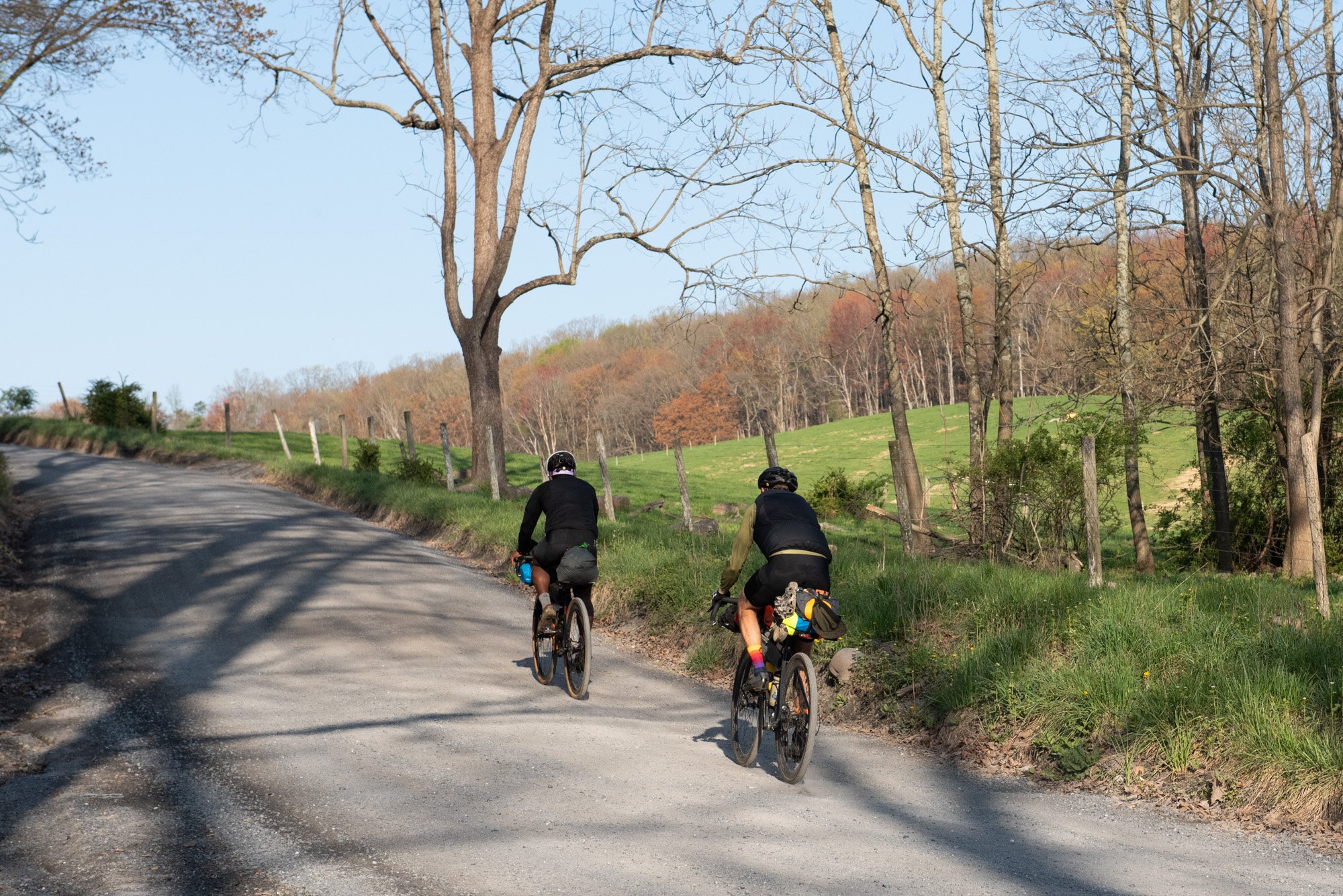
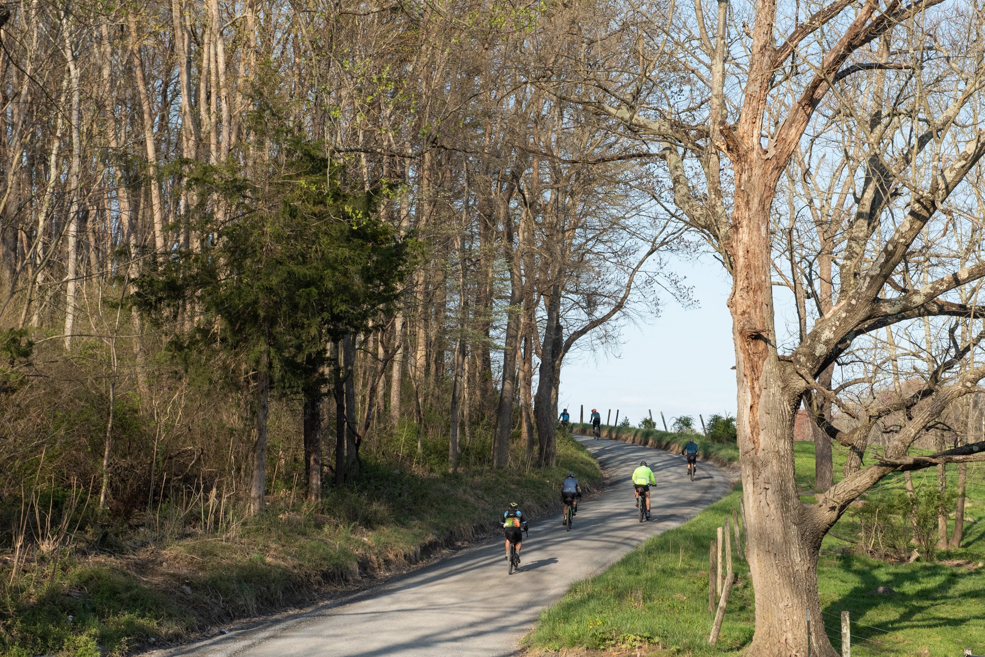
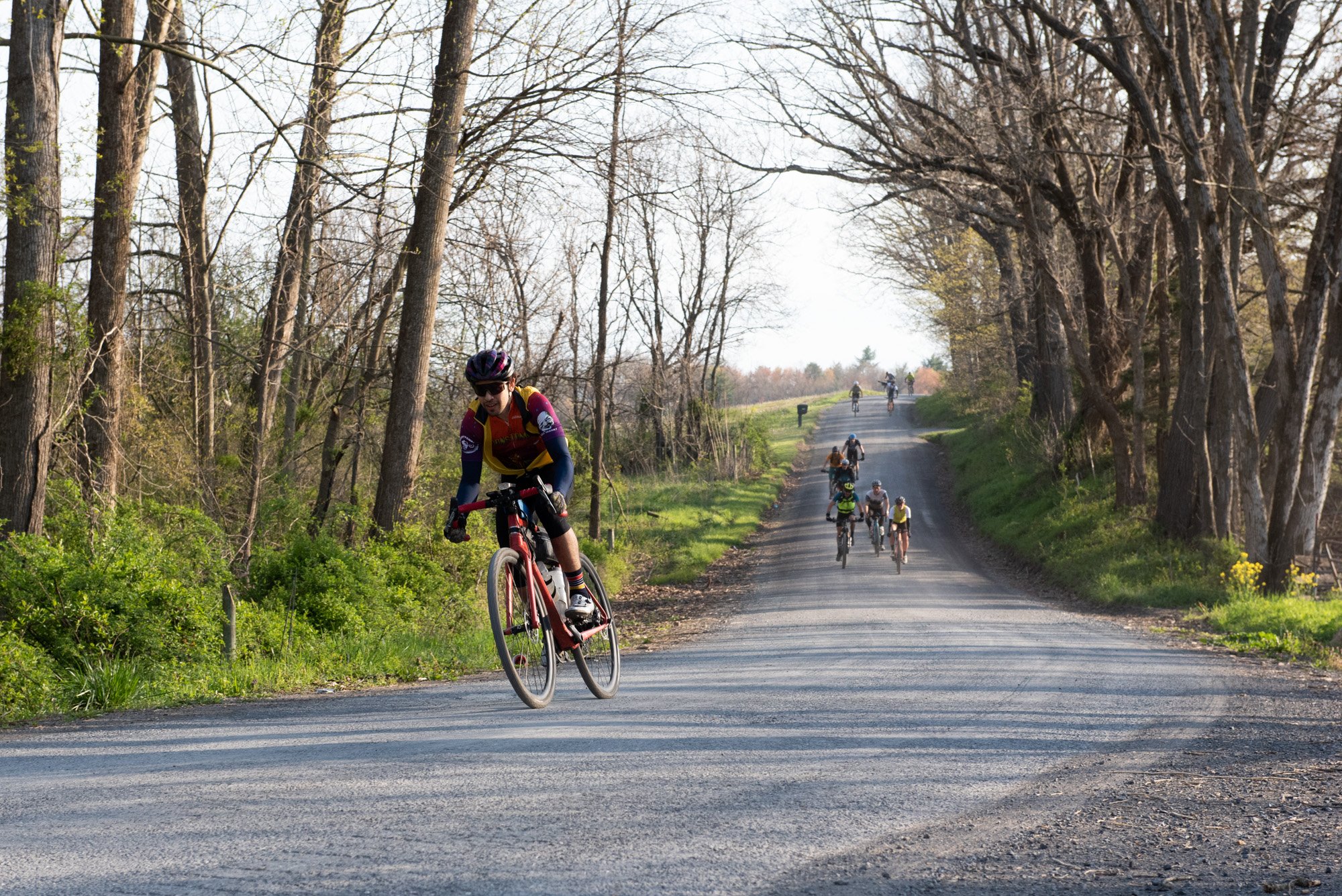
As you leave Covington, you're immediately presented with a massive road climb, containing some super steep pitches. Climbing back into those mountains would, at least, have its rewards later during an incredibly fast downhill that passes by the Roaring Run Furnace area (another picnic area like Braley Pond). The route as listed for day three contained a fair amount of paved road sections, which had the advantage of faster travel, allowing us to cover the distance more easily throughout the day.


One of the camping options to end off this day was to stay over at Rob Issem's friend's house in Eagle Rock. He was generous enough to offer riders the option to camp in his front yard as they made their way towards Roanoke. Unfortunately, this location in Eagle Rock comes a mere 40-miles after the Douthat State Park, making the distance covered on day three too short and leaving a challenging distance on day four. As such, we opted to go further along the route to the next potential camping spot, the Patterson Creek area. There were several good roadside camp spots along this stretch, but we reached this area with enough light left in the day and decided to push on even further. We knew that if we kept going, we could cover one additional big climb on day three, making day four slightly more manageable. That road climb was one leg sapping effort, but it put us on the other side, towards a primitive camp spot that I had scouted out from Kerry Werner's Rockstar video series. His videos about completing the Rockstar route were a great resource to consult before this trip and had it not been for his documentation, I would never have known about this potential roadside camp spot.
You’ll need this by Day 3…


Beautiful country roads leading to the Roaring Run downhill

Day 4: Primitive Roadside Spot (Stone Coal Rd) to Texas Tavern
(98 KM / 60 MI with 1653 m / 5423 ft elevation gain)

The last day on this trip kicked off with a big challenge right from the get-go as we ascended a steep gravel climb starting from our overnight spot. I set off that morning with my two fellow riders as we headed back into the mountains, but I would unfortunately have to bid farewell to them after only a few miles, as an underlying headache turned into a full-out migraine. This left me inching along (by foot) in total discomfort. The best I could do was push up the hills and free-wheel down the other side. This day, on paper, wasn't all that challenging, but it turned out to be my biggest hurdle to get to the finish. I was in desperate need of the first resupply spot, which only came around 18-miles (29km) into the day's ride.
I suffered along Wildlife Road, a super remote road that runs parallel to the ridgeline of the mountains. The ridgeline of this North Mountain is known by local riders as the "Dragons back" and the name is derived from the shape of the contour lines when viewing it from an aerial perspective. Rockstar trail riders had the challenge of riding all along the North Mountain trail that sits on top of the Dragon's back as they made their way through this part of the course.
After fighting my way through Wildlife Road, I eventually made it to the first pitstop on this day's route - Catawba Grocery. My physical state meant that I couldn't take in any solid food at this pit stop, but I was at least able to get some liquid calories into my body. I also loaded up my bags with extra food for when I felt better later on. Fortunately, a building rainstorm rolled through shortly after my visit to the grocery store and as the air pressure dropped, so too the pressure in my head released. I was finally feeling better as I headed through to the last big climbing challenge of this event.


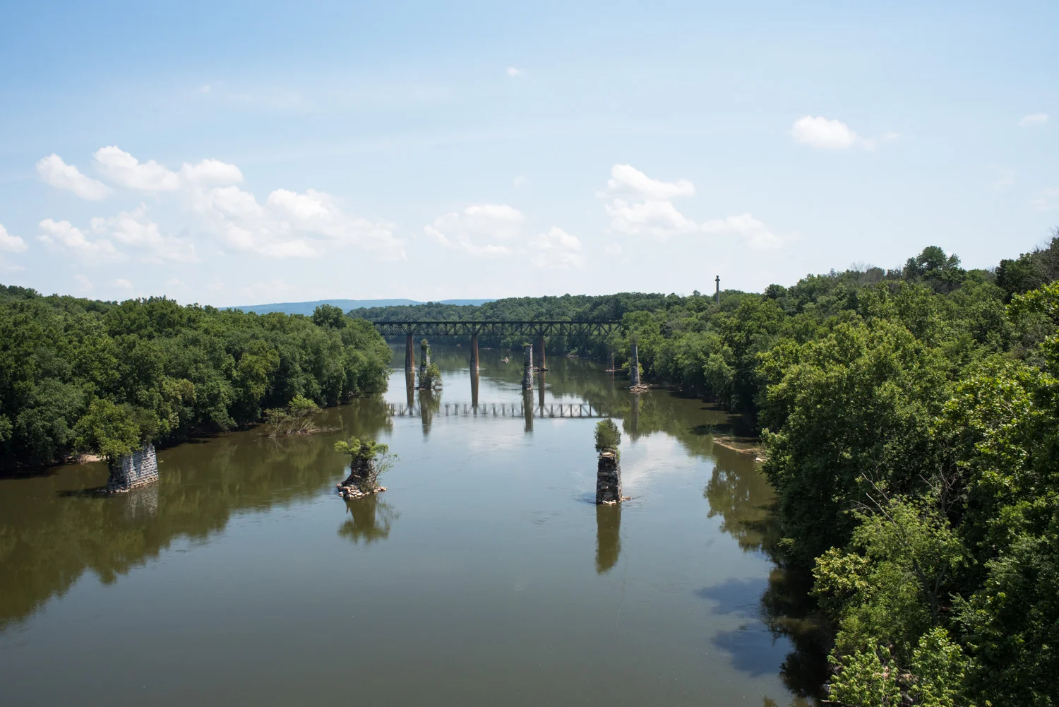
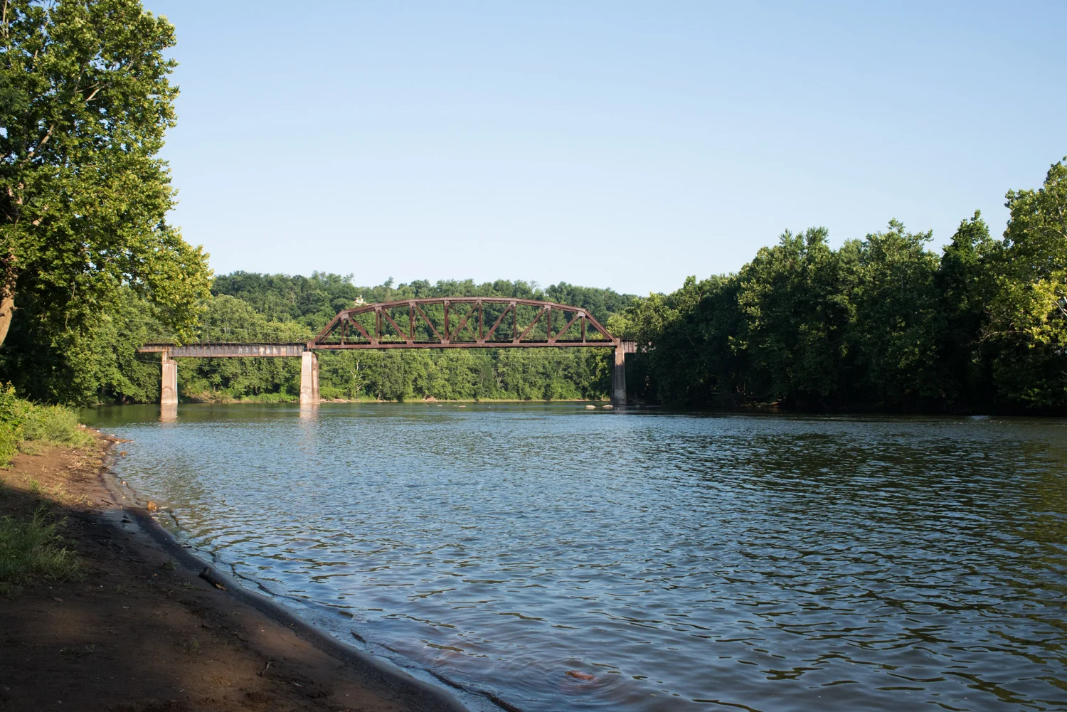
Carvins Cove and the climb up Brushy Mountain formed the last major uphill battle of this event. The long consistent climb through this natural area eventually turned back in the direction of Salem, which then connected with some trails in the area. First there was the Hanging Rock battlefield trail and later the Roanoke Greenway trail that follows along the Roanoke River. This Greenway passes right by Roanoke Mountain Adventure's store, but a few more miles awaited before I would be reunited with my car that was parked here.
Don't, however, think that you're going straight to the finish line like any other event. Nope, this is Rockstar! Riders had to finish off this route with a last climb around and up to the top of Mill Mountain before descending to finish at the Texas Tavern. Getting to the top of Mill Mountain delivered one last test for weary legs as the Virginia Pine Loop trail took us through last stretch leading to the Roanoke star. After taking the celebratory victory shot of the bike and the star, only the downhill back into downtown Roanoke awaited.


I was greeted by Devin and some friends at the finish line. Shortly after my arrival, I watched Rouselle roll in. He overcame some earlier tire issues, to finish like a champ. I walked into that 24-hour diner to become the proud recipient of a custom Rockstar glass, which all finishers of the 2022 grand depart were given once they reached the Texas Tavern. It felt like the biggest trophy I've ever received!


Wrap-up
One of the best parts of bikepacking is the people you meet along the way and a big thank you goes out to Devin and Rouselle for their company during this trip. What started out as a solo mission to complete the Rockstar Gravel route, later turned into an entertaining group ride after I jumped onto their train. And of course a major shout out goes out to Rob Issem for putting together this awesome event! Rob's mission to reveal and celebrate the very best backcountry cycling routes in Virginia really shines through. I am extremely grateful that I got to be a part of this experience.
Rockstar is a challenge, make no mistake, but it's one that delivers incredible memories along the way. I hope you enjoyed my look-back at this unforgettable adventure and that you feel inspired to seek one out for yourself. Rockstar might not be a recommended starting point, but it's always something to aspired towards.