Gravel Ride of the Week: Shenandoah Foothills
Disclaimer: This post contains affiliate links, through which we earn a commission.
Plan. Explore. Repeat. That is the essence of adventure cycling, a part of the sport that has gained tremendous appeal with me over the last year. There is simply no better feeling than stitching together a route in an unknown location, planning well and then completing an unforgettable ride throughout uncharted territory. Adventure awaits. We just need to get out the door to go find it. Today’s Gravel Ride of the Week post and video is all about doing exactly this. I set off to the truly spectacular Shenandoah Mountains with the main goal of exploring a new area and it could not have been any more exhilarating. Follow along on this adventure and just maybe you’ll be tempted to create one for yourself!
Route Breakdown
This ride kicked off in the remarkable small town of Washington, Virginia, situated about 1.5 hours southwest of the better-known Washington D.C., on the edge of the Shenandoah Mountains. The town might be small in size, but it holds world famous status due to The Inn at Little Washington. If you enjoy fine dining and luxurious hospitality, then you’ll find the documentary about this inn fascinating. It follows the pursuit of the inn to acquire the much coveted Michelin 3 star status. An interesting side note is that only 15 institutions throughout the US can currently lay claim to this prestigious award. I think that speaks volumes to the fact that Washington, VA is certainly not your average American small town.


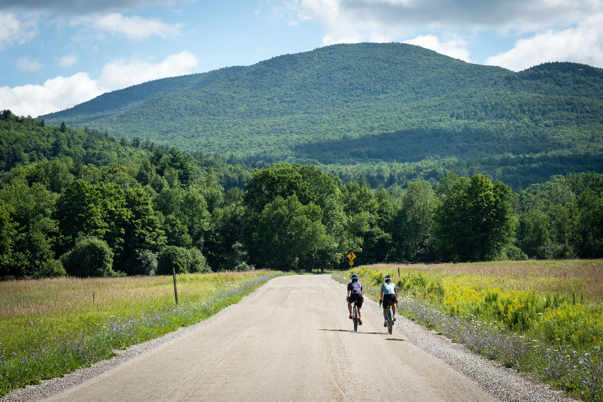
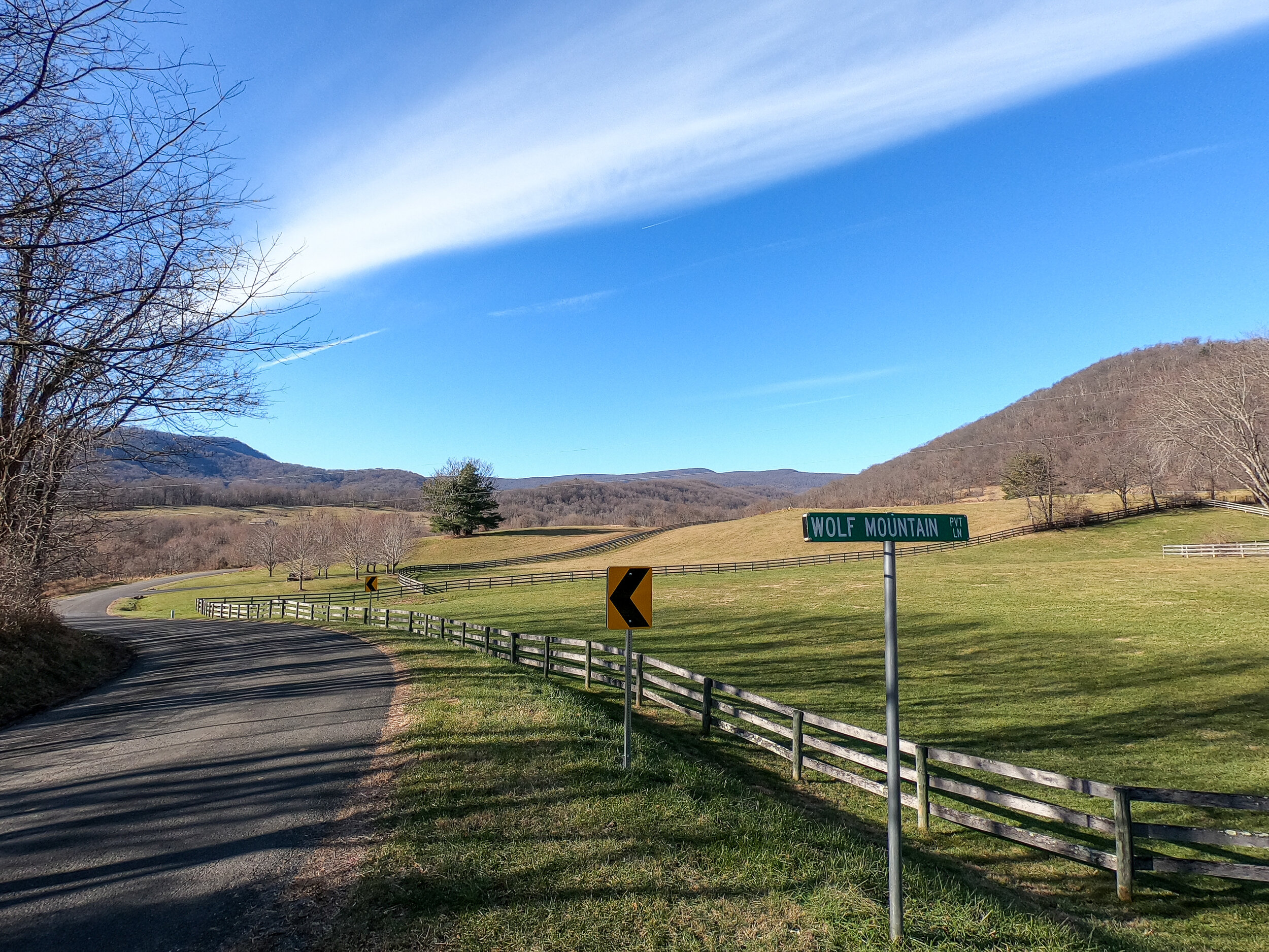
After rolling out of this unique town, the route continues south towards the gravel roads. The first checkpoint on this route is the scenic Thornton River that you’ll travel alongside in the Rock Mills area. The route continues towards the truly spectacular gravel road that travels up and over Bessie Bell Mountain into Woodville. This secluded gravel road opens up into an amazing vista of the mountains as you descend down into Woodville.


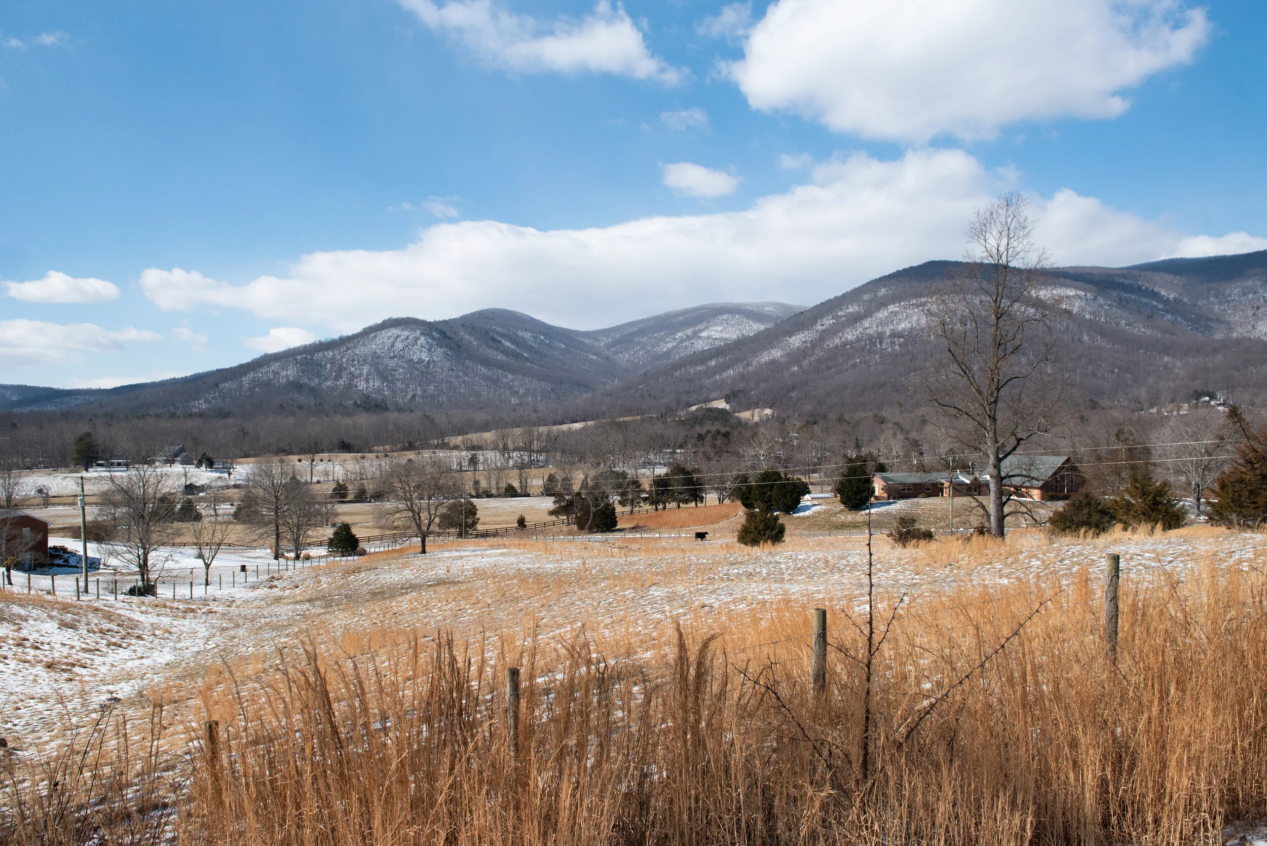
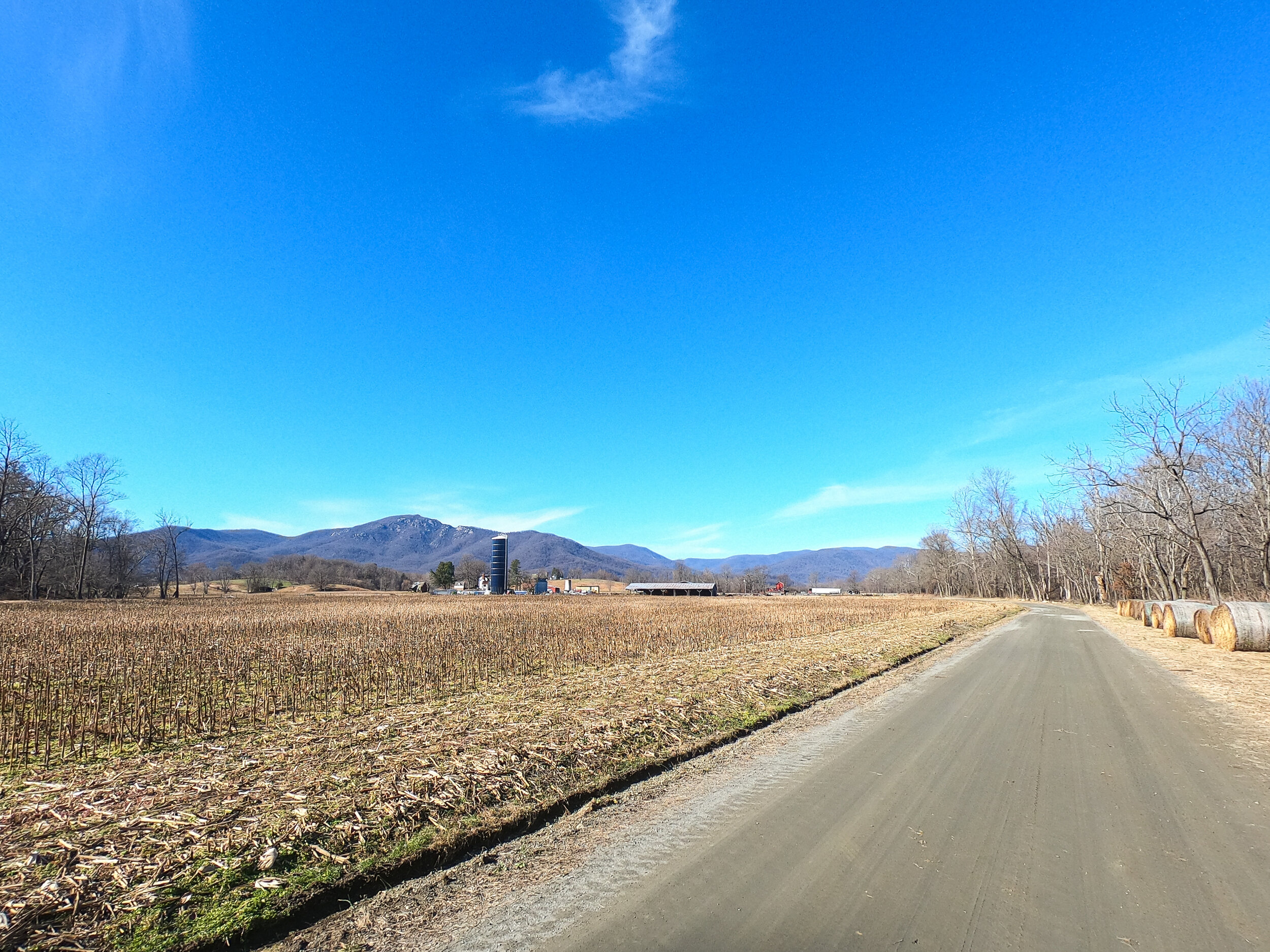
The route continues south, passing between farmlands with glimpses of the mountains off in the distance. It flows through Slate Mills and eventually reaches the southern turning point at Haywood. At this point, the direction changes towards the mountains, which means absolutely breathtaking views. The handful of pictures that I’ve included in this post definitely don’t do the views any justice and you’ll get a much better sense of the scenery in the highlights video that goes along with this post.

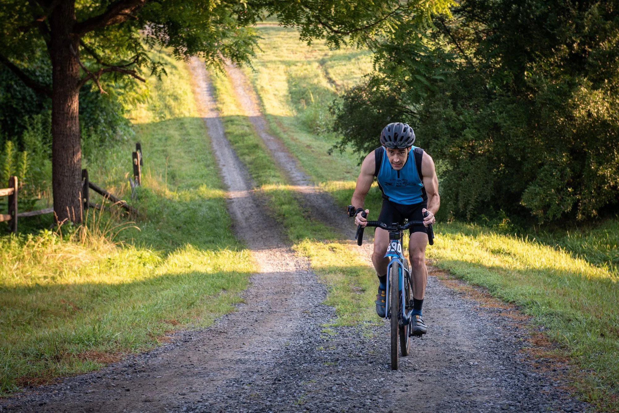
Following the spoils of the mountain views, the route subsequently turns onto one of two fairly busy paved roads that run through the area. If you intend to replicate this ride, then be sure to have some good visibility on your bike to make this section of road more safe. After about 5 miles (~8km) on the road, the course turns straight towards the mountains, which can only mean one thing - lots of elevation gain. Two fairly challenging climbs await during the last third of this ride.
The first of the two climbs can be found on Woodward Road, which makes its way into the backend of Sperryville. This climb includes some steep pitches and I recorded gradients of up to 22%. I was certainly very thankful for the 36T front chainring that I have on my bike, so be sure to check your gearing for mountain riding suitability.


Sperryville is the largest town along this route and here you’ll be able to find some good food options. Though I passed through on a Sunday and a few places were closed, so be sure to check trading hours ahead of time. One spot in particular comes highly recommended: the Corner Store. While on a family trip a few years ago, we stopped here for some dinner. The pizza was really good! The store also offers loads of supplies, so make sure you stock up here if you are low at this point during the ride. Trust me, you’ll need it for the second of the two big climbs that starts shortly after Sperryville.


The road that takes you out of Sperryville is, yet again, one that requires extra vigilance. But a turn left, back to the mountains, erases all thoughts of busy highways. The mountains, in all their splendor, stare you right in the face. The last kicker to this route is the trip that it takes up towards the mountain, but fortunately not all the way to the top. It merely loops around one of the tips before dropping back into Washington. This loop around the mountain tip is mostly on paved roads, but it does contain a short section of gravel near the top of the climb. The downhill that takes you into Washington is as good as they come. Simply tuck in and fly!
The total distance for this ride came in around 57 miles (92 km) and the elevation gain measured in at 5580 ft (1700m). It’s a challenging route indeed, but one that offers so many rewards - the sense of exploration being one of the biggest. Here is the Strava route link, should you ever want to try it out for yourself:
STRAVA ROUTE LINK
Wrap-Up
What a ride! As a big sucker for mountain views, I rank this type of scenery right at the top of my list of favorites. This ride alongside the foothills of the Shenandoah Mountains certainly does not disappoint when it comes to epic views. Beyond the visual beauty, I was also left with a deep sense of satisfaction after completing a ride that offered so much in terms of exploration and adventure. I hope that this write-up can in some way inspire you to plan out an adventure of your own. It’s easier than you think... stop daydreaming and just get out there!
-Wiehan